AquaLocate BBB Business Review

Simple. Portable. Accurate.

Our mission is to promote  an easier and more accurate approach to conducting groundwater surveys around the world. We manufacture and distribute the most advanced seismoelectric technology – GF6 Exploration Instrument 

4rW-OX0Q_Tilted

GF6 Exploration Instrument is making waves

The GF6 Seismoelectric Exploration System is ideal for finding resistive liquid (fresh groundwater, oil, natural gas) under layers of rock, sediments and soils. 

The process works by sending a seismic pulse (sound wave) into the ground. If liquid exists, the seismic pulse will move through it and disturb the natural ions in the liquid. The ions then give off an electrical signal the GF6 Exploration Instrument detects and translates into data. Depending on the data received between the seismic pulse and the aquifer, the results can indicate potential depth, yield (fresh water) and thickness.  

The GF6’s technology is not just for groundwater and well water surveys, the GF6 has been sold worldwide to businesses and research organizations conducting civil and environmental engineering work, frac water development, oil and gas surveys, geological research, water table depth research, minerals exploration and more. How can the GF6 help you?

Easy to Use

The GF6 Seismoelectric Exploration System was designed to be durable, easy to use and accurate. We wanted it to be used by anyone willing to learn and be able to withstand multiple years in harsh environments. Nearly anyone can learn to use our system. Non-profit organizations use the GF6 to find water in third world countries. Find out more about becoming certified to use it for your own project.

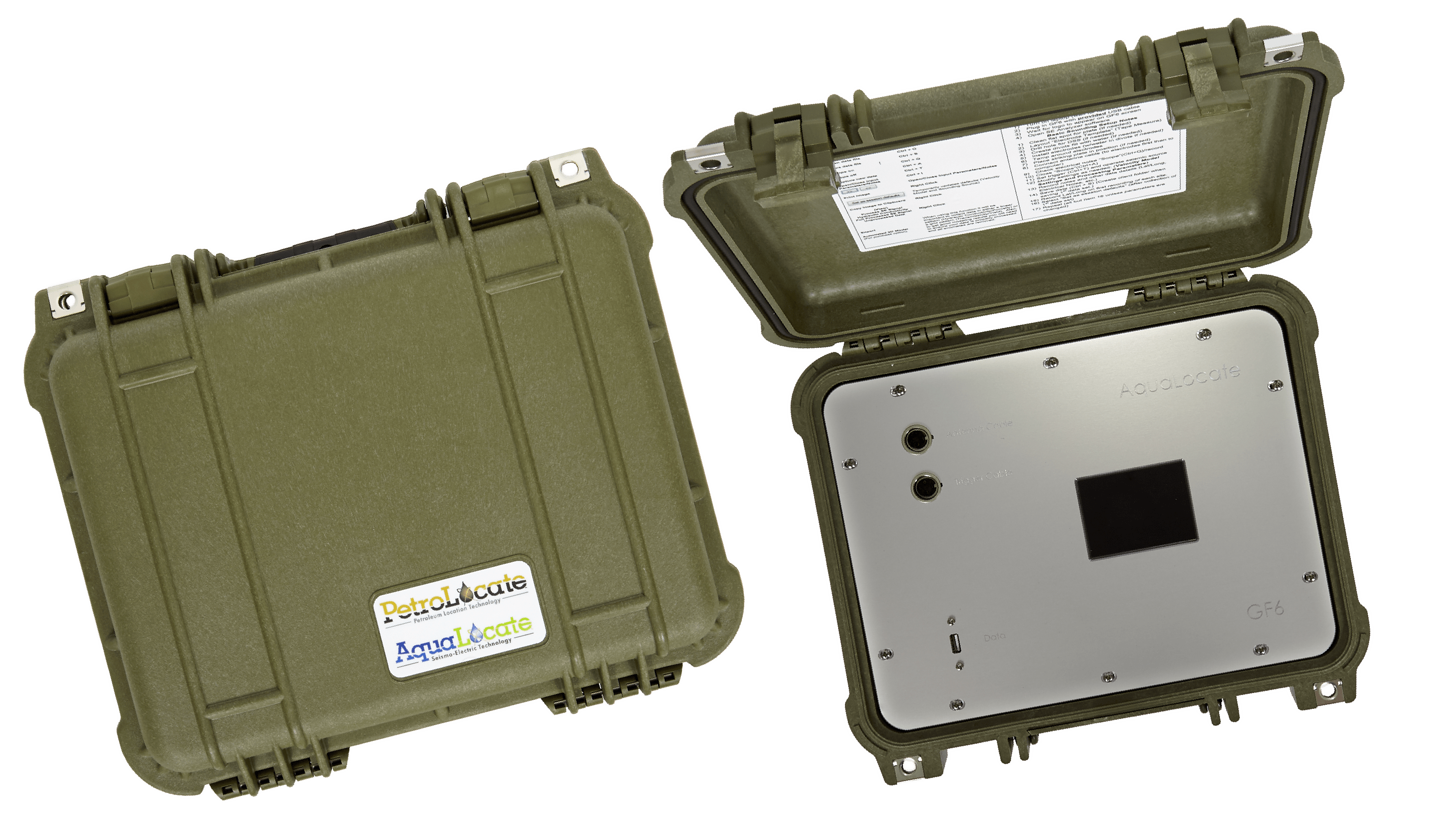
Adapted for Deep Investigations

The developers of the GF6 Exploration Instrument have adapted the signal to be stronger and more focused, making it suitable for deep investigations. Using the PL14 Seismoelectric Exploration system, we have observed signals from liquid underground from depths of up to 2,000 meters. Depending on the local geology at depth, the PL14 is capable of imaging a strong resistive liquid zone to nearly 3000 meters.

Data can be mapped

Using the data gathered from the GF6 we can create maps and profiles showing the groundwater (aquifer) depth and thickness. We can also develop contour maps, locate. problem zones in major excavation sites, and when systematic surveys are performed along traverses or in grids, we can map the aquifer's lateral variability.

Dozens of soundings a day

The remarkably high signal to noise ratios achieved with the patented design means that productivity is high. Up to thirty sounding sites or more can be accomplished by one operator in a full day of work.

Hydrocarbon Indicator

In 2014 the GF6 Exploration Instrument's seismoelectric technology was redesigned and adapted to image resistive liquids to nearly 3000m. This gave birth to a new product called the PL14 designed mainly for oil, natural gas, and geothermal exploration.

Estimates depth of zone(s)

The GF6 Exploration Instrument collects data from any detected resistive liquid source. Using basic knowledge of local geology an operator can provide accurate depth estimates. If multiple zones (aquifers) are detected then the approximate depth of each zone can be determined.

Flow rate estimates

The quality and potential quantity of the aquifer can be estimated based on the results gathered by the GF6 Seismoelectric Exploration System. The GF6 compares the signal bandwidth and amplitude against the aquifer's overall permeability, these are supported by thousands of observations over the past two decades. With high quality research and calibration data, an operator can provide amazingly accurate yield estimates as well.

"Ions in the water are dragged away from their partners and the electrical disturbance created is detected by the antenna array."
Ervin Kraemer
Founder, AquaLocate

"Finding water before you drill is a vital first step in a successful drilling project."

Ervin Kraemer

Scroll to Top