Scientific Surveys for Identifying Groundwater and Mitigating Drilling Risks
GF7 Exploration Surveys for Imaging Aquifers
Avoid the risk of discovering a dry well by using the GF7 to assess the depth, yield, and thickness of the aquifer on your land BEFORE you begin any drilling! Contact us today at 1.800.251.2920.

Minimize Drilling Costs
Minimize unnecessary drilling costs by employing a GF6/GF7 survey to determine the optimal well location, reducing the chances of investing in dry or low-yield wells and potentially saving thousands of dollars.
Save Time & The Environment
Eliminate the inconvenience and costs associated with several drilling attempts by pinpointing the ideal location for your water well, while also minimizing environmental impact by avoiding unnecessary boreholes.
Depth & Yield
Detect groundwater at depths greater than 1600 feet, providing crucial insights tailored to your specific water well requirements, whether for residential, agricultural, or commercial purposes.
GF7 Operator Training
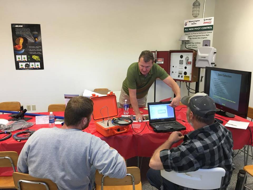
Become a certified GF7 operator by participating in our comprehensive 3-4 day training course, designed to provide independent operators with the crucial skills needed for effective groundwater surveys. Post initial training, individual operators can take advantage of discounted future training sessions and enjoy ongoing personalized data assistance and report preparation (additional fees may apply). This gives independent operators the advantage of a second opinion of their data by a 23+ year seismoelectric veteran.

Who We Support
We offer both initial and continuous training and support to independent operators of the GF7 system, which may also encompass their employees. Our training has reached a diverse group of independent operators, including pilots, medical doctors, homemakers, blue-collar workers, farmers, educators, tradespeople, geologists, geophysicists, and many others.
How It Works
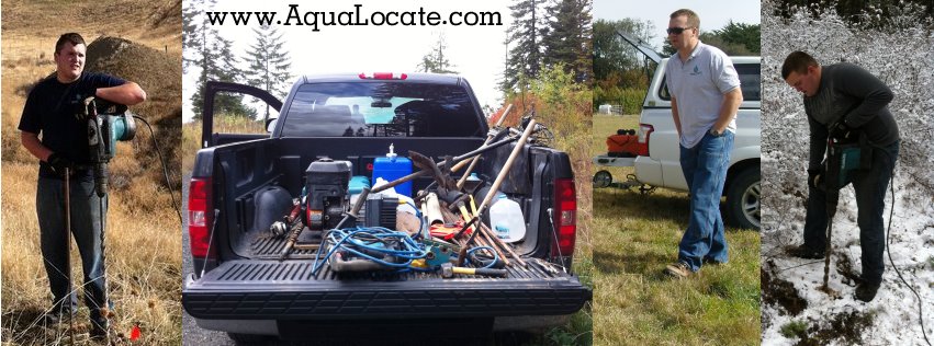
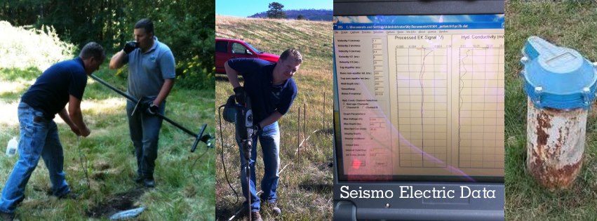
Our training program integrates classroom instruction with practical, hands-on field experience. Training courses are held in Mineral Wells, Texas, at a local office, while fieldwork takes place nearby. Some clients opt for training at their own locations, and we occasionally make exceptions to fulfill such requests. In these instances, the client is responsible for covering the per diem expenses of two AquaLocate team members.
Quick to Master
The GF7 system is designed to be user-friendly, necessitating only basic computer skills and physical capability. For independent operators, adhering strictly to the initial training protocols and guidance derived from over 24 years of instructional experience is crucial for achieving successful data collection, interpretation, and final survey outcomes, as well as preserving the strong reputation of the GF7’s capabilities. Therefore, AquaLocate exclusively recommends and continues to support independent operators who follow these guidelines diligently.
Additional Services

Water Well Site Surveys
Strategic recommendations for well site placement are derived from detailed GF6/GF7 surveys that capture the depth, yield, and thickness of aquifers—indicating where they start and end within the project area—or confirming their absence.
Data Review & Interpretation
Professional analysis of data that results in clear, actionable reports based on GF7 seismoelectric information, providing clients with detailed insights into well potential and enhancing their ability to communicate effectively with the drilling professionals they are collaborating with. Furthermore, AquaLocate offers data review services for independent operators seeking further support after completing the initial training.
Borehole Preparation and Well Restoration
Recommendations for new and unsuccessful well drilling projects begin with an examination of the historical data from existing wells in project area, along with a review of local geological conditions. This approach includes a risk assessment, detailed information on drilling methods, as well as insights related to the GF7 science and how conducting a GF7 survey can provide clients with valuable information.
Locate the depth, yield and thickness of the aquifer BEFORE drilling begins!
Be
FindAquiA
